Continental Loss: The Quest to Determine Antarctica’s Contribution to Sea-Level Rise
 Professor Matt King
Professor of Polar Geodesy & ARC Future Fellow, University of Tasmania
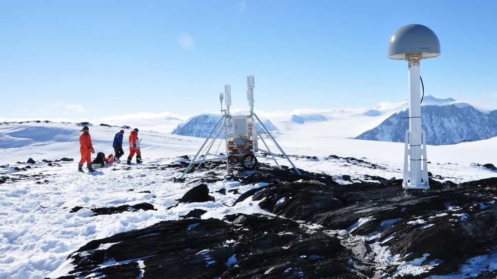
For over 50 years scientists have been working to understand Antarctica’s contribution to sea level. For much of this time there has been disagreement about whether this massive ice sheet is even growing or shrinking. In 2012, advances in data analysis and computer modelling resulted in the first reconciled estimate of change being achieved. This showed that Antarctica is increasingly contributing to sea-level rise.
Join the University of Tasmania (UTAS) Professor of Polar Geodesy, who will explain some of the major advances that led to this reconciled estimate and highlight some of the fascinating things we can learn about Earth from the vantage-point of Antarctica; these take us from hundreds of kilometres above Earth’s surface to hundreds of kilometres below, and from present-day ice sheet changes to those that happened 20,000 years ago and, finally, to the uncertain future of this vast reservoir of water.
About the Speaker:
Professor Matt King works within the Surveying and Spatial Sciences group, forming a part of UTAS researchers working on solid earth geophysics and geodesy. In particular, his work focuses on the use of geodetic tools to solve problems related to Earth geophysics, notably sea-level change, polar ice mass balance and Earth deformation. He also seeks to advance the accuracy and precision of those geodetic tools (e.g., Global Navigation Satellite Systems (GNSS/GPS), GRACE and SLR). His research currently encompasses four broad areas: i) tidal and hydrological forcing and response of ice streams and ice shelves; ii) measurement and modelling of glacial isostatic adjustment in Antarctica for understanding previous and current ice mass changes; iii) improved observation of 21st century sea level change and present-day polar contributors; and iv) observation of the global water cycle at large spatial scales.


