
.png)
The RSV and our partners host science and technology events in Victoria throughout the year including National Science Week.
Most RSV presentations are both in-person and live-streamed.
Come and join in future events or catch up on past events at rsv.org.au/videos.
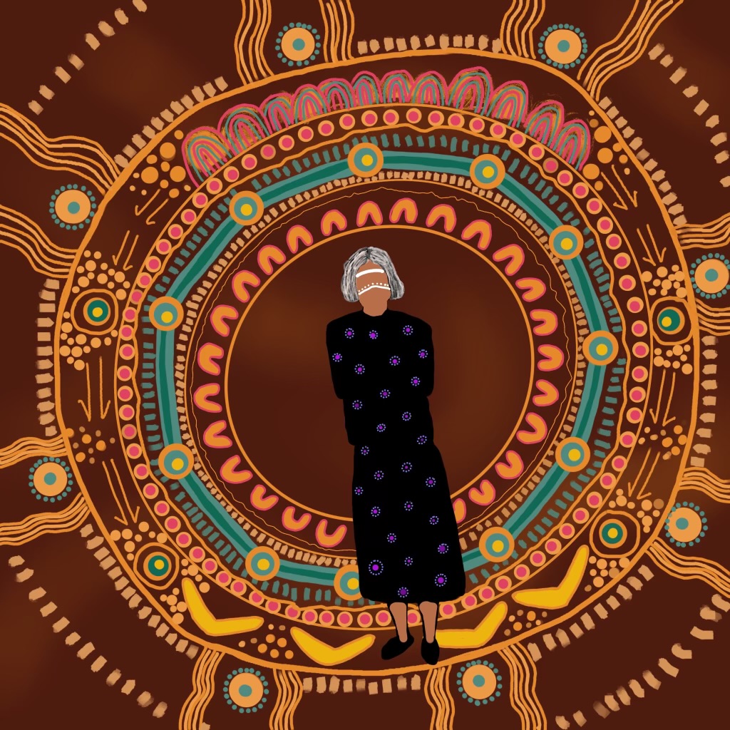
7Seasons Screening
Directed by Clancy Lester aka "Bee Man", this documentary aims to restore our connection to nature, and our connection to each other as it delves into the climate crisis in Melbourne, spotlighting the Wurundjeri and Boonwurrung wisdom.
Science Victoria Magazine
A magazine for the science and technology community
The Royal Society of Victoria publishes regular articles to keep Australia’s science and technology community up to speed with activities, opportunities, issues and new developments.
We welcome contributions from our members, supporters and the community.
Latest Edition of Science Victoria:
Jun 2026
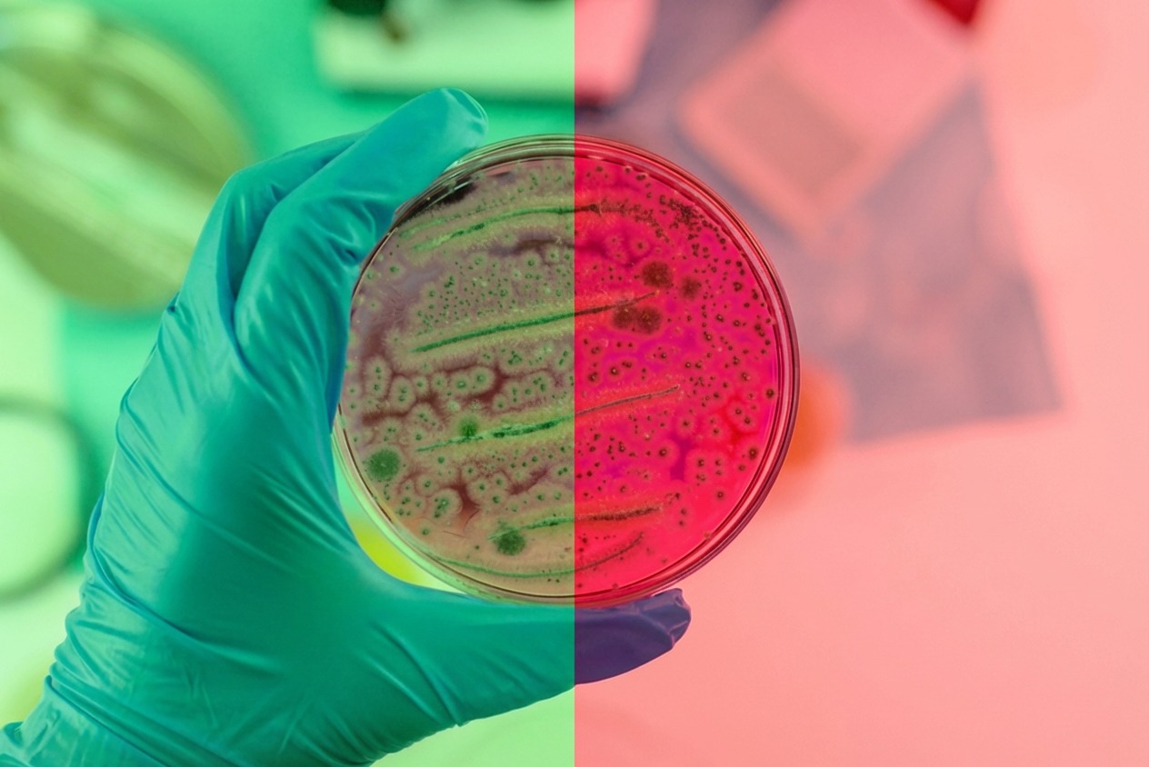
The Science of Ageing and Longevity
Australians are living longer. The whole nation is ageing. But how we age is not just a matter for senior citizens. The latest research shows that making the right lifestyle choices when we are young increases the chances of a healthy old age. And the findings are remarkable consistent. It’s all based around exercise, diet, sleep and social connections. Read all about it in this issue of Science Victoria.

.jpg)


What's on in Science and Technology
Get involved!
There's a lot going on across the science and technology community in Victoria and Australia. The RSV runs its own events and can support and promote yours.
Come along, participate and get involved.
Who we are
We are a vibrant physical and online hub where Australians with an interest in science and technology can meet to energetically share insights, trade ideas and discuss solutions to our society's important challenges.
We have been at the heart of Melbourne and Victoria's development since 1854.

A Place Where Science And Technology Meets
Whether online or in person, we are Victoria's science and technology hub. Come and attend one of our events, subscribe to our newsletter and Science Victoria magazine, or engage with others who share your interest in advancing science and technology.
A Community To Join
Membership of the Royal Society of Victoria is open to individuals and organisations across Australia and the region who are interested in science and technology.
A Location For Your Event
RSV Hall was built in 1859 and is a great heritage location for weddings, corporate events and business meetings. Hire all or part of our Melbourne CBD venue to make your next event one to remember.